Today will feature much cooler temps as well as a nice cool wind. Winds will gust out of the W at 15-20 mph while temps will cap out in the 30's and 40's. Temps get even colder tomorrow before a lat week warming trend.
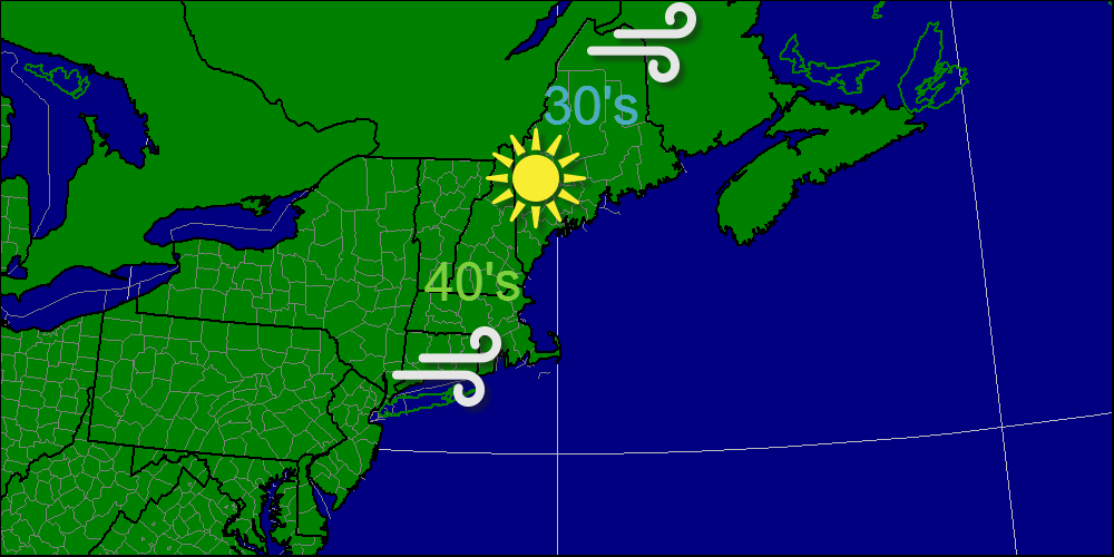
-Jack
Today will feature much cooler temps as well as a nice cool wind. Winds will gust out of the W at 15-20 mph while temps will cap out in the 30's and 40's. Temps get even colder tomorrow before a lat week warming trend.
-Jack
This morning a sharp cold front will pass through with a round of heavy rain and high winds. Winds will gust up to 40 mph out of the south in the morning hours so scattered power outages are possible. After the front, winds will gust to 30 mph out of the west. These winds will bring in much colder air for next week. 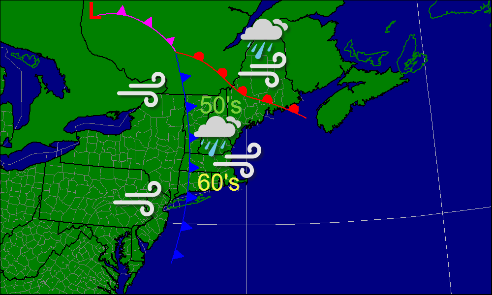
-Jack
Monday will feature the passage of a strong cold front bringing a line of heavy rains, high winds and even a rumble of thunder. The activity will be focused in the morning hours and will likely move out by 1-2 PM west to east. Temperatures will be warmest at the onset of daylight in the 50's and 60's while in the afternoon, gusty NW winds will bring in temps in the 40's and 50's. Winds will start from the SE ahead of the front and then shift to the NW after the front passes. For tonight, light sower activity will be the result of the passage of a warm front. winds will increase out of the south ahead of the cold front. Winds will gust 30-40 mph so scattered power outages are possible. 
For tomorrow, the day will be split half and half, the morning being wet and wild while the afternoon will be dry and windy with winds gusting out of the NW. 
-Jack
Today will feature some patchy fog to start off the day but that will burn off in a hurry leaving full sun to be enjoyed for the remainder of the daylight hours. Warmer temps will continue to filter into the area with temps rising into the 40's and 50's. Warm temps continue through the weekend with a strong cold front marking a return to cold air on Monday. 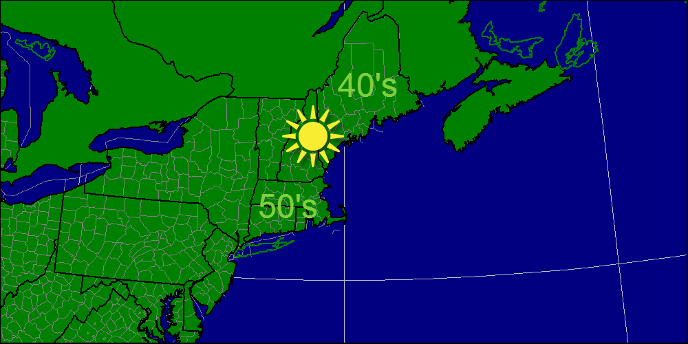
-Jack
Today, a weak trough will move through resulting in come clouds across the region in the morning however, the clouds will decrease as the day goes on so by afternoon full sun will make a return. Temps will not be quite as chilly as yesterday's highs with temps in the 40's and 50's rather than the 30's and 40's. The one exception will be far northern parts of Maine and New Hampshire where temps will rise into the 30's. 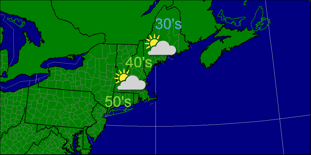
-Jack
If you thought yesterday was great, today will be even better. Temps will be in the lower 30's across most of New England. Winds will be similar to yesterday though they will turn northerly with time. Full sun is expected through the day today and likely will extend into tomorrow. 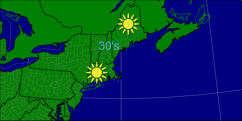
-Jack
As a cold front passes through this morning, rain/snow showers will push through however, most will be dry by mid-morning. Behind the front lies the coldest air of the season and some breezy conditions to transport this air from Canada. The remainder of the week looks storm free and cool before a warm up late in the week. 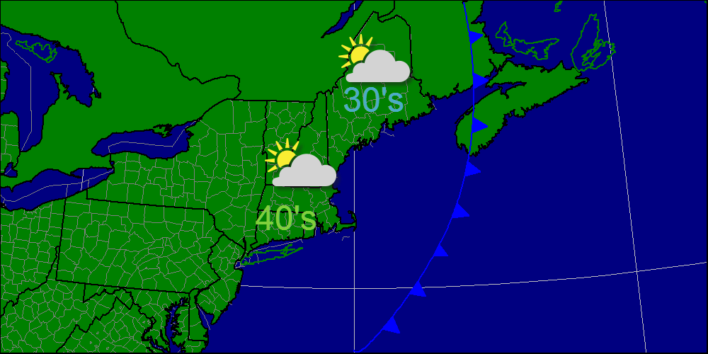
-Jack
A cold front will cross the region tonight with a few snow/rain showers even at the coast. Here in Yarmouth, we have yet to see our first flakes. Tomorrow morning may just present that opportunity. With sparse moisture and warm ground temps, I expect little accumulations. Below is a map detailing my thoughts on accumulations. 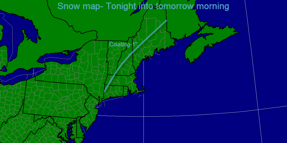
-Jack
Today, a departing high pressure system will bring warmer temps to the area. Areas in far northern Maine will likely only top out in the 40's but elsewhere, it looks like 50's are a safe bet. Tomorrow, 60's return along with some rain. Enjoy! 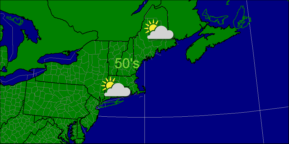
-Jack
Today will feature mostly sunny skies, and like yesterday, will be very chilly with temps rising into the 40's. 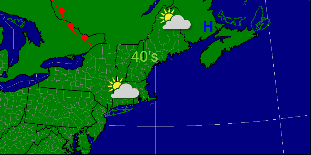
-Jack
| AuthorsWe are weather fanatics in Maine, home of some pretty interesting weather. We get hurricanes, nor'easters, floods, severe thunderstorms, heat, cold, and drought and we love to track and talk about it all. ArchivesDecember 2013 CategoriesAll |
 RSS Feed